BDGA WFS-T
Edit vector features in an interactive map directly from your browser.
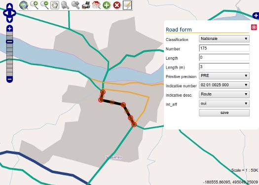
This demo features an OpenLayers map showing vector features coming from a remote server that can be modified using editing tools and saved back. The OGC WFS-T protocol is used for the CRUD transactions. The server used is TinyOWS.
- See the Live demo in action
- Learn more about OpenLayers
- Learn more about TinyOWS